
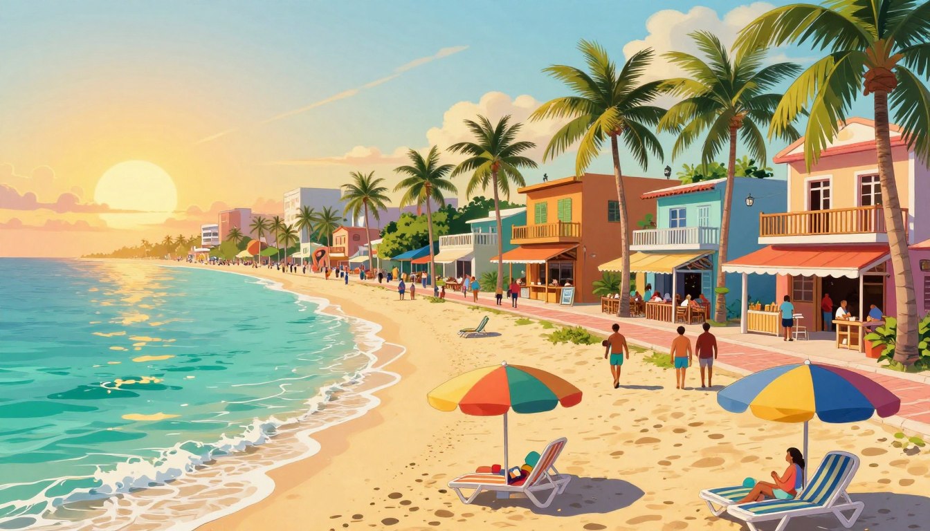

A Maya pilgrimage route once crossed the channel from this Caribbean shore to Cozumel. As we arrive today, the shoreline meets lively streets, with the Caribbean Sea just beyond the sand.
Xaman-Ha, the city’s historic Maya name, links this international destination to a much older past. The Mesoamerican Barrier Reef is a large coral reef system along the Caribbean coast of Mexico and Central America. We find a place that is more than a beach stop, though not every beach or neighborhood fits every traveler.
Whether you are visiting for a few days or considering a longer stay, we can use its history and setting to make thoughtful plans. First, let’s place the city within its region.
Key Takeaways
- Maya routes and later ferry travel shaped the city.
- Quinta Avenida gives downtown its walkable center.
- Beach access and neighborhood feel vary by location.
- Weather, beach conditions, and travel guidance can change.
- Plan a stay around your needs and trip length.
Where Is Playa del Carmen on a Map of Mexico?
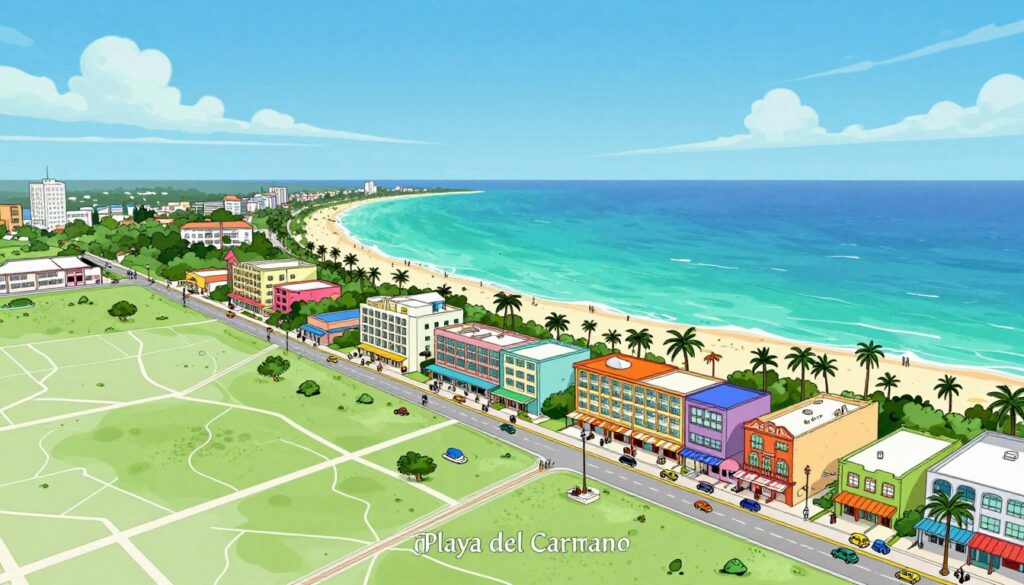
Playa del Carmen is a coastal resort city in southeastern Quintana Roo, on Mexico’s Caribbean Sea coast. Its location places it within the Riviera Maya, about 68 kilometers from Cancún.
The 2020 census counted 304,942 residents across a city area of 49.8 square kilometers. These figures offer a snapshot, not a claim about current population growth.
Playa del Carmen sits in the Riviera Maya, between Cancún and Tulum, with Cozumel across the channel.
A coastal location in Quintana Roo
On a Map of Mexico, look to the southeast, along the Yucatán Peninsula’s Caribbean coast. The city lies at 20°37′41″N, 87°04′32″W, about 10 meters above sea level.
Cancún International Airport is about 70 kilometers away. Playa del and Cancún are separate cities, while the Riviera Maya extends south from Cancún toward Tulum and the Sian Ka’an Biosphere Reserve.
A city with a broad regional reach
Is Playa del Carmen in the Riviera Maya? Yes. It is one of the region’s main urban centers, with road links to Cancún and Tulum.
Cozumel is a separate island across the channel, reached by ferry from the city. That link makes day trips possible, but the island is not part of Playa del Carmen.
The location ties a compact city area to a much wider coastal region. To see how the settlement gained its modern role, we can look back at its early history.
How Did Playa del Carmen Mexico History Shape the City?
Xaman-Ha means “waters of the north,” and the site served Maya pilgrims crossing the channel to Cozumel. That passage also carried trade and tied the coast to the wider Mayan civilization.
Playa began as a Cozumel ferry stop before it became a destination in its own right. Its growth came in stages, from pilgrimage and trade to fishing, ferry service, and tourism.
Xaman-Ha and Maya pilgrimage routes
During the post-Classical period, from A.D. 1000 to 1500, Xaman-Ha served as a religious and trade route. Pilgrims departed for Cozumel to honor Ixchel, a Maya deity.
Local trade goods included salt, chicle gum, and honey. The coast linked daily commerce with sacred travel, making the site part of a wider Maya network.
For readers seeking more about the city’s past, our page on the history of Playa del Carmen offers a related starting point.
Spanish rule and a remote fishing village
Juan de Grijalva reached Cozumel in 1518, and Hernán Cortés arrived the following year. Spanish colonists brought Catholicism and smallpox, while Maya resistance continued in the region.
During the Caste War, the area remained relatively remote. Caribbean pirates also stopped along the coast, while residents gathered chicle and fished.
The area became part of Mexican territory in 1902 and took the name Quintana Roo, after General Andrés Quintana Roo. The modern city was founded in 1937 and named for Our Lady of Mount Carmel.
Ferries and tourism transform the settlement
Playa del Carmen was still a small fishing and chicle-gathering village when tourism began changing the region. Cancún’s tourism development started in 1967, and a wooden dock and ferry service to Cozumel grew in the late 1960s and 1970s.
Cancún International Airport opened in 1974. At first, Playa del Carmen served travelers heading to the island; later, visitors began staying in town.
Fifth Avenue was paved and developed, and Playacar was established as the city grew in the late 1980s and 1990s. The population figures show how quickly that change took hold.
| Census year | Population | Change from previous listed count |
|---|---|---|
| 1995 | 17,621 | Baseline |
| 2000 | 43,613 | 147.5% |
| 2005 | 100,383 | 130.2% |
| 2010 | 149,923 | 49.4% |
| 2014 | 186,700 | 24.5% |
The rising counts reflect a settlement taking on a new role in the region. Today, that growth shapes the stays and experiences visitors find across the city.
What Draws Travelers to Playa del Carmen’s Beaches and Downtown?
A quiet beach morning can give way to an evening walk among Quinta Avenida’s lights and music. That change of pace is part of Playa del Carmen’s appeal, with nature and city life close together.
Choose a stay by weighing beach access, downtown activity, and the length of your visit. A spot that suits a weekend may feel less practical for a longer stay.
Beaches, reefs, and nearby nature
The area draws visitors with white sand, turquoise waters, and access to coral reefs. Balnearios, or beach areas with services, offer another way to spend time by the water.
The Mesoamerican Barrier Reef runs along this coast, while rainforest surrounds parts of the region. Beach conditions vary, so a beautiful view does not mean every shore suits every swimmer.
Xcaret, a park with nature and cultural attractions, lies just south of the city. The ferry connection also makes Cozumel an option for a separate day trip.
Quinta Avenida and the city’s urban energy
Quinta Avenida is the central pedestrian thoroughfare. Shops, clubs, and restaurants line the route, giving visitors an easy place to walk, browse, and find a meal.
Staying near this strip can make evenings simple, though street noise may matter to light sleepers. A beach-side address can bring you nearer the water, while residential areas may offer a quieter setting.
Choosing a beach condo for a visit or longer stay
We feature vacation condos near the best beaches for travelers who want their stay close to the shore. Compare the setting and features with your plans, and explore beachfront stays and condo options before choosing.
A longer stay can call for a different setup than a brief visit. Guides to Riviera Maya resort options and useful resort amenities can help you compare what matters to your group.
- Trace the actual walking route from the condo to the beach.
- Confirm whether beach access is public or through a property.
- Consider street noise, privacy, and your preferred sleeping hours.
- Check for a kitchen and laundry facilities on longer stays.
Those details can shape everyday comfort as much as a view. Before settling on dates, consider weather patterns and how you want to plan each day.
What Should Visitors Know About Weather, Safety, and Daily Life?
Check weather forecasts and local conditions close to departure, since both can affect beach plans. Long-term climate figures help with broad planning, but they do not predict a specific trip.
Playa del Carmen is hot year-round, and June through November brings most rainfall. Summer and winter breaks are peak tourism periods, so visitor activity rises around those times.
Use climate averages for general planning, then check the local forecast and beach conditions before you go.
Weather through the year
Playa del Carmen has a tropical savanna climate. The 1951-2010 climate normals show an average temperature of 25.8°C (78.4°F) and annual rainfall of 1,331.2 millimeters (52.41 inches).
Summers are hot, and nights stay warm throughout the year. Hurricane Wilma passed over the city in October 2005 and remained nearby for two days.
The storm caused significant damage, most of which was repaired within a few weeks. Past events do not tell us what conditions will be during a future visit.
Local time and everyday expectations
Playa del Carmen time follows the UTC-05:00 time zone. English is widely spoken downtown, and we may also hear German, Italian, French, and Dutch.
Tipping is appreciated in restaurants and other service settings. Keep some small bills handy for everyday transactions and service.
Is Playa del Carmen safe for visitors?
Safety depends on current conditions and personal choices, so we should not rely on a fixed danger rating. Check the latest U.S. State Department travel guidance and local updates before travel.
Use common travel care, keep valuables secure, and follow posted beach instructions. A four-point check can help us prepare without assuming conditions will stay the same.
- Check current U.S. State Department travel guidance.
- Check the local forecast and beach conditions.
- Confirm ferry schedules directly before traveling.
- Share your itinerary and emergency contact details.
With practical plans and realistic expectations, we can enjoy the city on its own terms. Choose dates with care, then make room for both rest and exploration.
Conclusion
Playa del Carmen brings layers of Maya history into a modern coastal city. Its past adds meaning to the streets and shoreline that visitors and residents share today.
For a short visit or a possible home, choose a stay that fits your routine, not just your first impression. A beach condo can put the coast within reach, while your daily needs should guide the rest.
Explore the featured vacation condos near the best beaches, then plan a visit with time to experience the city at your own pace. We hope you come see this magical place for yourself.